Gale Force Winds Hit Northern UK
Storm Boelo brings heavy rain and high winds to northern regions this weekend.
By Neha Iyer ·
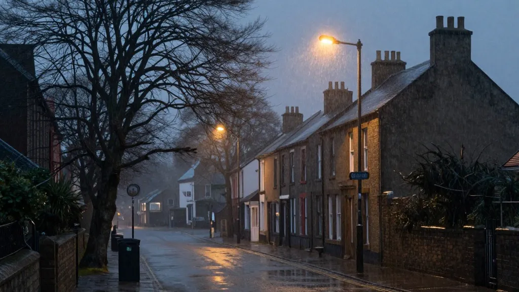
Residents in the north of the United Kingdom should brace for significant disruptions this weekend as severe weather systems converge on the region. The arrival of a new named storm threatens to disrupt daily routines, halt travel, and potentially knock out power for thousands of homes. Authorities have urged people to remain indoors where possible to avoid the physical hazards posed by the coming conditions. This marks the latest in a string of severe weather events affecting the country recently.
The forecast data indicates that wind speeds may exceed eighty miles per hour during the peak of the system. The Met Office has issued an amber warning, which is their second highest alert level, for Scotland and the northern parts of England down to Carlisle. This specific warning period runs from nine pm on Saturday until the same time on Sunday. A separate amber warning has been issued for the north east of Northern Ireland, covering the time from nine pm Saturday to ten am Sunday. A broader yellow warning for wet and windy conditions covers the entire northern part of the UK from midday Saturday to nine pm Sunday. Additionally, a heavy rain warning applies to Wales and parts of western and southern England from eleven am to eleven pm on Saturday.
Travel networks are already advising passengers to expect major delays and cancellations. Ferry services and train operators are preparing for widespread disruption. TransPennine Express has told customers to avoid all non-essential journeys on Saturday and Sunday. Avanti West Coast has strongly recommended that passengers do not travel north of Preston on Sunday. These advisories aim to reduce the risk of passengers being stranded due to service stoppages.
Energy providers are closely monitoring the situation after previous storms caused significant outages. The Met Office has cautioned that the power cuts seen in the south west could be repeated in the amber warning areas in the north. During the previous storm, thirty-one thousand homes in the south west lost electricity at one point. By Saturday morning, more than three thousand seven hundred of those homes were still without power according to National Grid maps. This highlights the vulnerability of the electrical grid to strong winds and falling branches.
Met Office meteorologist Alex Burkill stated that the winds are the primary concern for the upcoming weekend. He noted that the gusts will whip across Northern Ireland, northern England, and Scotland throughout the day. Burkill added that these winds are expected to strengthen towards the evening. While temperatures will be slightly above the seasonal average, the combination of wind and rain will make the conditions feel quite unpleasant. This weather pattern contrasts sharply with the milder autumn conditions experienced earlier in the season.
The storm is expected to peak on Saturday evening. The wet weather should clear overnight in many areas, although rain will continue to affect Scotland and Northern Ireland. This event follows a year of extreme weather conditions across the UK. The country experienced its hottest summer on record this year, which included five heatwaves and a record forty days with temperatures above thirty degrees Celsius. These events are part of a broader trend driven by human climate change that is reshaping rainfall patterns and weather conditions globally.
Prime Minister Andy Burnham addressed the impact of these weather events at a summit on record wildfires on Friday. He warned that the UK could face a winter of greater flooding. Burnham denied that the government is playing catch up on civil preparedness. However, he acknowledged that the country is living in a world where unexpected events seem to be becoming increasingly common. This statement underscores the growing challenge of managing infrastructure and safety in the face of more frequent and intense weather systems.
Source: The Guardian