Tesla CEO's Old Rivalry with Maps Ends as Company Builds Own Navigation Data
Tesla is developing proprietary mapping technology to improve FSD's performance in speed limits and routing, a strategic pivot from its previous vision-only approach.
By Anna Nowak ·
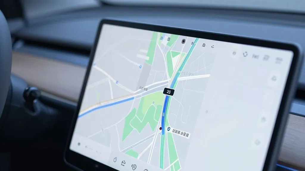
Tesla is constructing its own mapping infrastructure to resolve persistent issues with its Full Self-Driving software, marking a significant departure from the company's long-standing rejection of map-dependent navigation.
During the Q3 2026 earnings call, Ashok Elluswamy, Tesla's VP of AI, confirmed that the automaker is developing a new AI-based mapping and navigation architecture. This system will be fed by data collected from Tesla's existing fleet and is designed to handle specific tasks that the current vision-based system struggles to manage reliably.
The decision follows a direct question from a retail investor during the shareholder Q&A. The investor noted that mapping continues to be a problem for FSD, specifically citing difficulties with reading speed limits, handling parking, and selecting typical routes. Elluswamy agreed that the company should not depend on external maps and outlined how the new internal system would learn individual driver preferences and respond to voice commands.
The new technology is scheduled to debut with FSD v15, initially managing the start and end of trips. Over the coming months, it is expected to expand its role to cover broader navigation, parking, and destination handling. This rollout aims to address the specific environmental understanding gaps that have plagued the software, particularly regarding speed limit signs.
This development contrasts sharply with the company's historical stance. In 2019, CEO Elon Musk declared that relying on high-precision lane maps was a "huge mistake" that made self-driving systems "extremely brittle." He famously dismissed lidar as a "fool's errand" and argued that Tesla could solve driving using cameras and AI alone. In 2015, however, the company had initially told Fortune it was building high-precision maps with granularity 100 times that of standard navigation, using data from customer vehicles.
Recent real-world testing highlights the need for this new map layer. Last month, a Belgian road safety group reported that FSD exceeded speed limits in 55% of 30 km/h zones in Brussels, averaging 44 km/h. The vehicle's screen often displayed a 50 km/h limit in these areas. Similarly, the U.S. National Highway Traffic Safety Administration is considering an investigation into claims that Tesla Robotaxis speed through active school zones, involving approximately 1,000 Model Y and Cybercab vehicles.
The new approach brings Tesla's strategy closer to that of its rival Waymo. Waymo maps cities by driving sensor-equipped vehicles through them before launching service and updates those maps continuously. Tesla is now employing a similar method, using its fleet to collect data that feeds a Tesla-built map. While Waymo uses lidar, Tesla is relying on its vast network of cameras to build a map that helps every car drive better. This aligns with Tesla's current Robotaxi operations, which function within small, geofenced service areas.
While Tesla is not currently advertising centimeter-level high-definition maps, a fleet-built map that becomes increasingly detailed over time could evolve in that direction. The company's unsupervised FSD for consumer cars remains targeted for Q2 2027, but only within the Robotaxi fleet initially. This shift acknowledges that while vision is powerful, a dedicated mapping layer is necessary to ensure the system reliably interprets basic road information like speed limits and parking availability.
Source: Electrek